Wednesday, June 28, 2023

Walk 15. Minster to Warden

So, as I mentioned last time, today’s walk is mostly beach. I’ve checked the tide times and I’m starting just over an hour before low tide. 

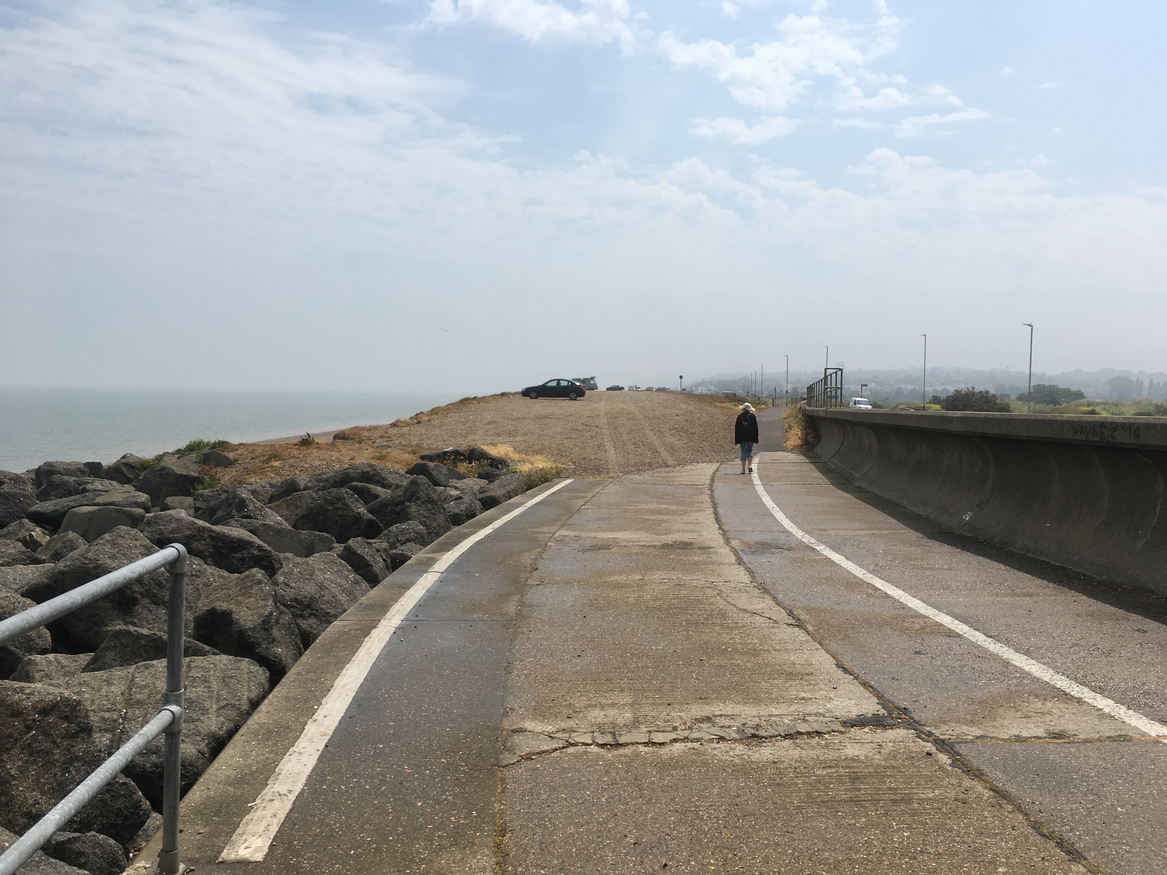
The start point is The White House restaurant on Minster sea front and the first mile or so is along a very pleasant promenade backed by a grassy bank.


Along the way are plenty of benches and some new-looking exercise machines…


Further on is a row of beach huts. I’m not one hundred percent certain, but I think these are the first actual beach huts that I’ve encountered so far on my coastal walk. A sign that I’ve finally left the estuaries and am at the seaside!


The prom comes to an end and it’s onto the beach. It’s mostly pebbles with some sandy bits to begin with, so fairly easy going…


After about ten minutes I come across yet more decaying boats…


For the rest of the way the beach is backed by low earthen cliffs. There has been very little rain recently and they are dry and reasonably solid-looking. I try climbing a couple of feet up and it’s pretty simple even though the surface looks like it could crumble at any minute. In an emergency you might be able to climb them, but I wouldn’t fancy doing it, and if its been raining I reckon you can forget it!


As I go on the beach gets muddier where there have been cliff falls and the mud has spread over the surface. It’s not as bad as I was expecting though. The surface is mostly firm and there are only a few patches where I feel my feet start to sink! The solution is to step on the rocks and pebbles as they help to spread your weight.


There is plenty of debris that has come down from the top…


Some of it more unusual than the rest…


Nearly an hour in to the beach section of the walk is evidence of how serious this erosion can be. The remains of someone’s house are scattered along the base of the cliff and it looks like some more buildings are soon to join it!


Shortly after this I wasn’t looking where I was going and stepped on a rusty bit of metal that was poking out of the rocks and pebbles. It went straight through my boot and into my foot! After a bit of swearing I hobbled off to complete the last couple of miles. Luckily the pain eased after about ten minutes and I was able to walk normally(ish) again! So kids, if you’re coming this way watch your step!

This stretch of coast is apparently popular with fossil hunters. I didn’t find any fossils but there were some interestingly patterned rocks…


Finally I came to Warden Point where, after being absent for a few walks, we have the return of the pillbox! About four of them…


While on the subject of old military defences, there is quite a good view from here of the Red Sands fort. This is a World War 2 Maunsell Fort, named after the designer, several of which were built around Britain’s coast. They were designed as anti-aircraft installations but several found fame as the location of pirate radio stations in the 1960s. One of them is also the location of the Principality Of Sealand, which is worth looking up if you want to learn how to set up your own country!


So, back to civilisation and the end of today’s walk…


Right. I’m off to A&E to get a tetanus jab…!

Sunday, June 25, 2023

Walk 14. Sheerness to Minster

Just a short one today! 

My original intention had been to go on to Warden or Leysdown to complete a big chunk of the north coast of Sheppey. However, a bit of research led to a change of plan! 

Basically there is a four mile stretch between Minster and Warden with not much in the way of footpaths or public access. So the options are a lengthy road detour inland or the beach. The beach is backed the whole way by low mud cliffs which are subject to rapid erosion and frequently fall into the sea. At high tide the sea reaches the foot of the cliffs which means the whole section has to be done at low tide. This means the beach itself is, in large part, soft mud that looks like very heavy going!

With this in mind, and the likely slow progress involved, I’ve decided to leave this section to the start of the next walk!

Anyway, enough of that. On to today’s walk…


I start back at Tesco in Sheerness…


From here I turn left as there is a short half mile stretch of public access before the coast is blocked by the docks. There is a nice path along the top of the sea wall with some water to the landward side called The Moat. There is evidence of old defensive structures along here built to protect the docks, so The Moat is presumably an actual moat!


I soon reach the ‘no go’ area, so turn and head back the way I’ve come.


The walk through Sheerness to Barton’s Point is very pleasant. There is a wide path along the sea wall and a pebble beach and slightly dilapidated wooden groynes. All very seasidey. Technically, this is the first actual ‘seaside’ walk I’ve done. The others so far have all been estuary walks!


At one point, on the steps is a short memorial (if that is the right word?) to the SS Richard Montgomery. This was a ship that sank in 1944 about a mile and a half out to sea from here. The wreck still has about 1,500 tons of explosives on board and is surrounded by an exclusion zone just in case…!


The path continues like this for most of the rest of the way…


Shortly I reach Barton’s Point where there is a large car park above the beach…


To the landward side of the coast road is Barton’s Point Coastal Park. This looks quite large and is used for walking, cycling, fishing, water sports and so on. There is even a miniature steam railway to ride on!


Also here is the north-eastern end of the Queenborough Lines. This is a defensive military canal that was dug in the late 17th Century to protect against Dutch raids. It runs in a south-west direction all the way to Queenborough, although it has since been filled-in at that end which is why I didn’t see it when I was there.


About half a mile further on I reach the White House in Minster where I am finishing for the day.


So there we go, a nice seaside stroll. Next time its into the mud…!


Sunday, June 11, 2023

Walk 13. Sheppey Crossing to Sheerness

 Today’s walk will take me round the first part of the Isle of Sheppey. 

Now, many coastal walkers don’t ‘do’ islands, but there is a bridge you can walk across and my stated aim is to go where I can reach on foot. So I’m off round Sheppey!

I start at Swale railway station which is just yards from the southern end of the Kingsferry Bridge. The central part of the bridge can be raised to let shipping pass…


From the bridge there is a good view of the newer Sheppey Crossing…


On the far side I turn left along the north bank of the Swale. This is the body of water that separates Sheppey from the mainland. I’ve heard it referred to as a river, but it seems more like a sea channel to me!

There is a good path that follows the bank although it is not marked as a public footpath on the map. 


After about twenty minutes I reach the most westerly point on Sheppey, the fantastically-named Ladies Hole Point! This looks like it used to have some sort of industrial activity as there is a lot of concrete rubble and lumps of rusty metal and stuff left to decay. There is also what appears to be a small boatyard.


From Ladies Hole Point there is a path, marked as a public right of way, that heads roughly eastwards past Rushenden Hill. 


On the way I see yet more mouldering boats in the mud. In the background is Queenborough…


Past Rushenden the path appears to be blocked by a fenced off area of land that looks like it is soon to become a housing estate. As I walk up to these gates I’m expecting to take a short detour round a couple of residential roads…


But then a bloke on a mountain bike whizzed past me and through this gap…


He disappeared from view and didn’t come back so I figured there must be a way out at the other end! A few yards in and there is this sign…


It doesn’t take long to get to the other end, but there I find a snag. The exit is flooded. No problem if you are on a mountain bike, but I’m not wearing my ‘winter’ boots and the water is too deep for my footwear! After spending a few minutes trying to get round the edges/climb out etc, I give up, go back to the gate, and take the road detour.


All things considered, it’s almost as though the developer is only very grudgingly keeping this public right of way open! Who’d ‘a thought…


A short walk brings me to Queenborough. This seems a very nautical place with a nice little quay on The Creek…


Past The Creek the path follows the sea wall for a short distance…


You can also see across the Swale to Deadmans Island which lies at the northern end of the Chetney Peninsula. Apparently this was so-named because prisoners who died aboard the prison hulks moored in the Medway Estuary were ‘dumped’ there!


Access to the coast is blocked by the Sheerness docks. A large number of cars and vans are imported through these docks and the well-fenced path runs around, and sometimes through, the huge storage and marshalling yards. 


The path eventually emerges at Blue Town, the old historic docks area of Sheerness. They have a slightly battered information board that tells you all about it…


Leaving Blue Town I arrive at Sheerness Tesco which is just behind the seafront. This is my end point of today’s walk as I plan to do Sheerness and Minster seafronts next time. 

I enjoyed today more than I thought I was going to. Plenty of variety and unusual stuff to see!