Sunday, June 22, 2025

Walk 47. East Wittering to West Itchenor

 Today I’m back at the car park in East Wittering to start my walk.


As it is now summer in England, the sky is grey and there is a ferocious wind blowing off the sea!

I set off across the pebbles past yet more beachfront properties…


This goes on for a couple of miles, although there are a few short stretches with an actual path. Which is a welcome break from the stones!


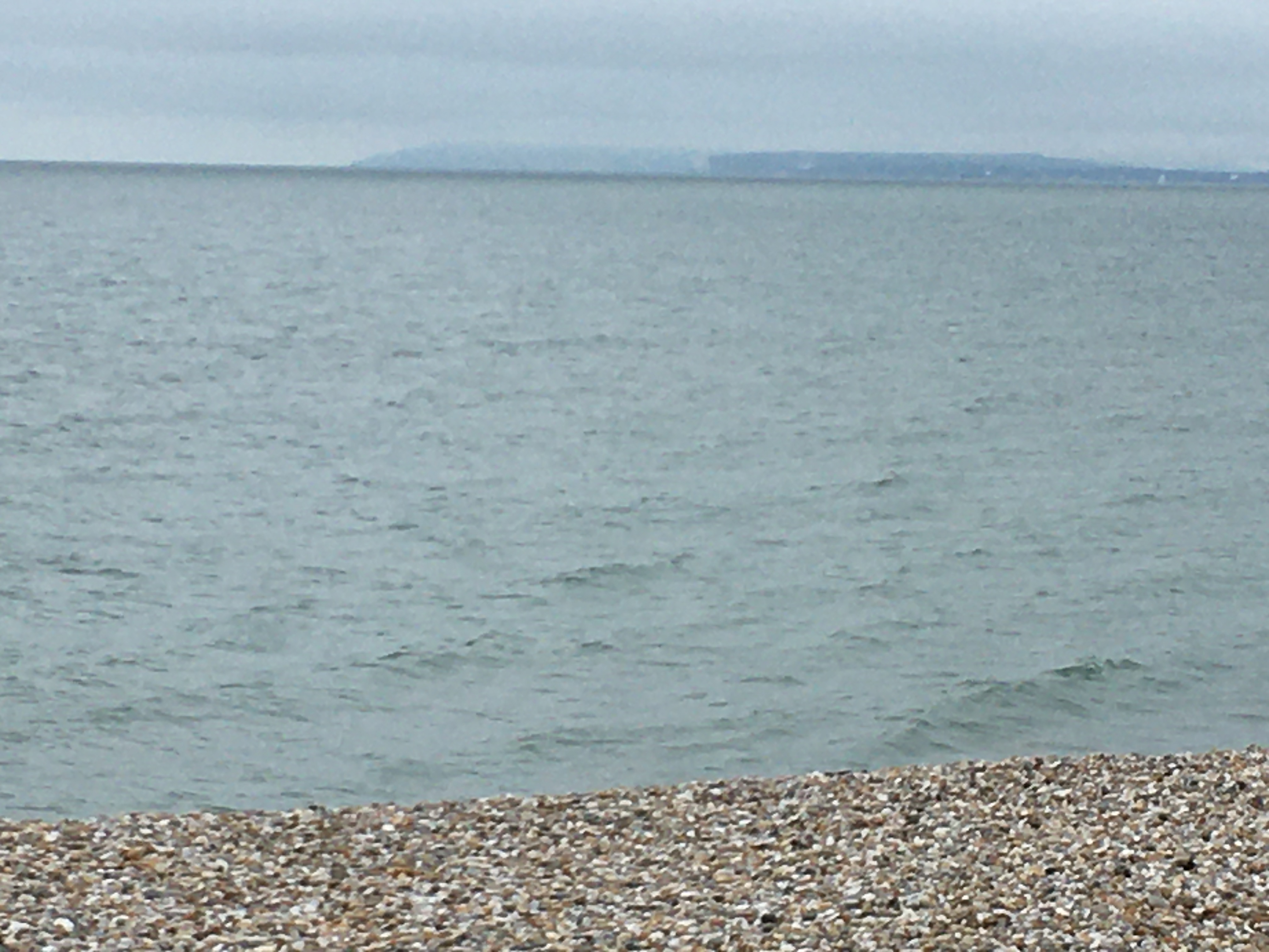
Over the water, the Isle of Wight can be seen more clearly than on the last walk…


After a while the pebbles finally end and there is an area of sand dunes to cross…


This brings me to the lovely sandy beach of West Wittering which is surprisingly busy considering the weather!


I walk past the families, sand castles, and people in wetsuits partaking in various water sports, to the entrance to Chichester Harbour. Across there is Hayling Island…


Pointing north into Chichester Harbour is a sandy spit of land, much of which is sand dunes. Areas of the dunes are fenced-off to protect nesting birds but you can walk all the way around the edge…


Surprisingly, this is a half-hour walk! 

Back at the bottom of the spit, the path turns left and heads along the  bank of the Chichester Channel - an arm of Chichester Harbour that reaches inland all the way to Chichester itself.


After a slightly worrying start…


…I find a set of steps…


…that lead up to a nice path!


A short walk up this path is Roman Landing, which seems to be part of West Wittering. There are some rather expensive-looking houses to walk past…


…then I skirt some back gardens via a leafy path…


This soon emerges back at the waterside…


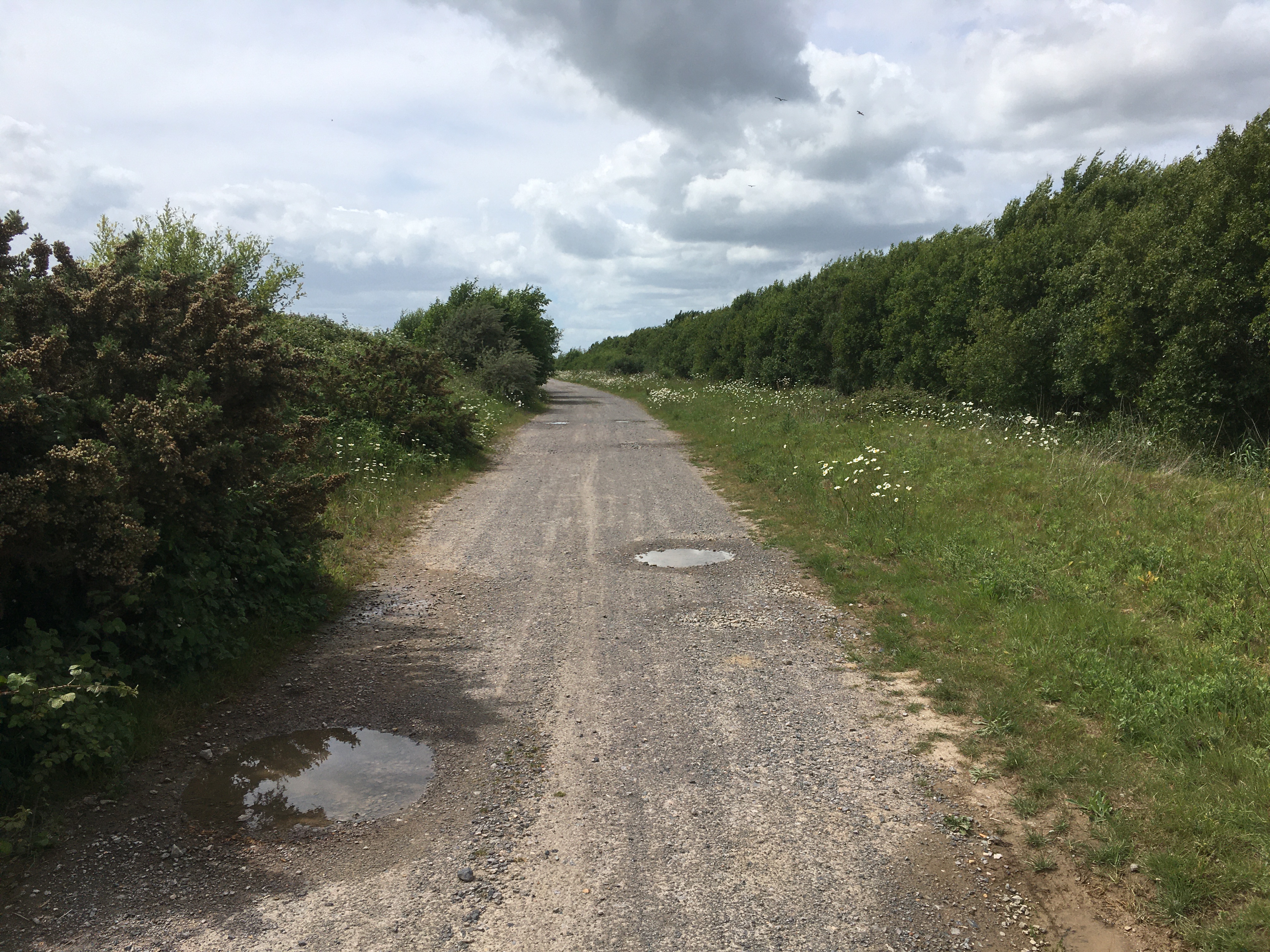
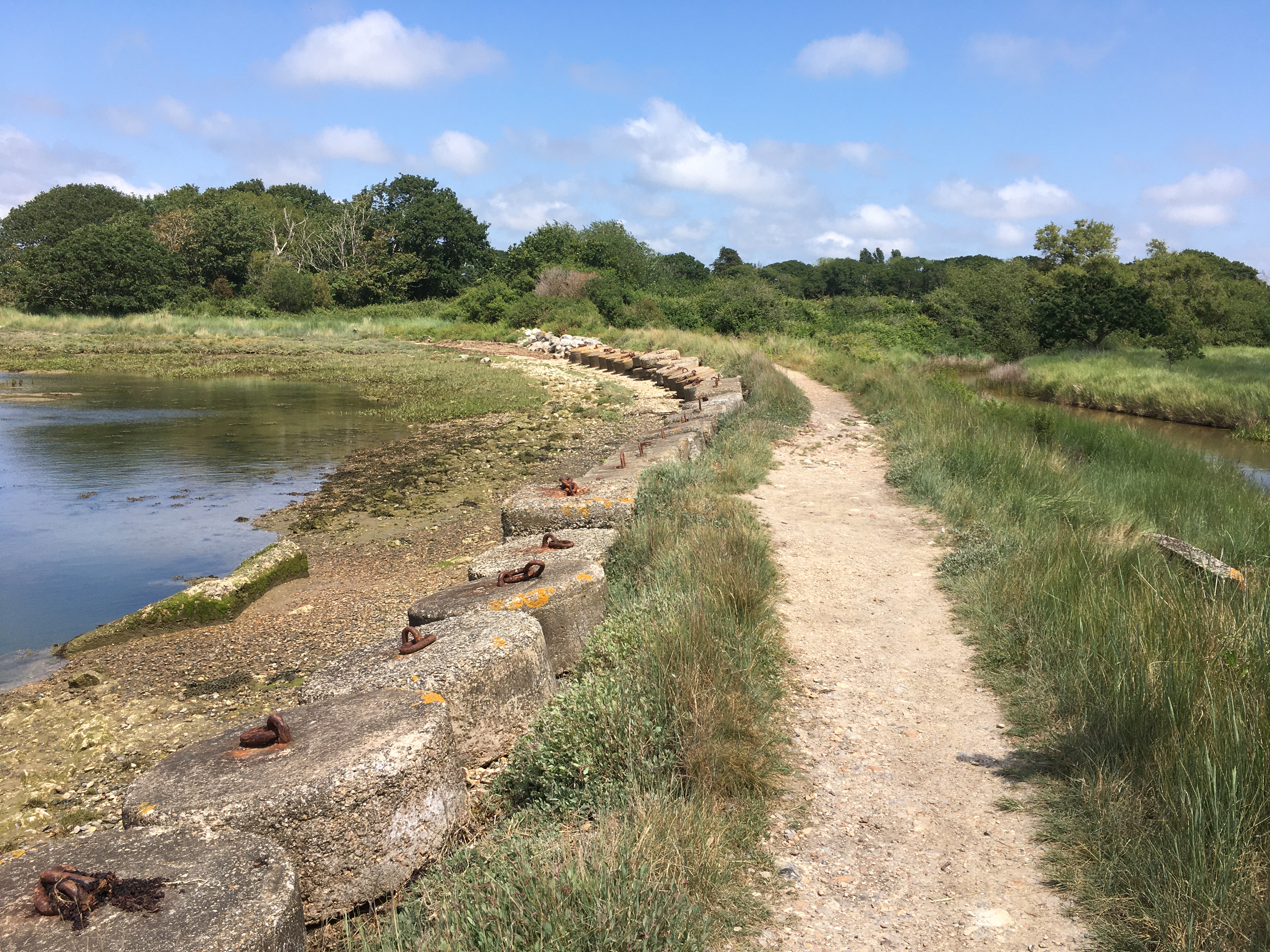
From here I keep going alongside the Chichester Channel for about two and a half miles until I reach West Itchenor. The clouds are thinning and the sun is coming out. It’s a lovely walk, water and salt marsh on one side, mostly farmland on the other, although maybe a bit same-y. Following the old saying about pictures/thousand words etc, here are a selection of photos…!


Arriving at West Itchenor, the path passes through a boatyard that also has a cafe! Every boatyard should have one!

Here, I am finishing for the day…


Tuesday, June 3, 2025

Walk 46. Selsey to East Wittering

 Today’s walk is a bit like a mirror image of the last one - I have a short bit of coast to walk followed by a jaunt around another huge nature reserve!

So, starting at Selsey lifeboat station, I set off down the prom toward Selsey Bill…


What exactly is a ‘bill’? Just a headland, or point, really. It’s that bit sticking out to the left on the above photo. 

To round Selsey Bill is possible only at low tide as there are private properties that prevent access otherwise. I am here at high tide…


There is a short detour to pass the houses…


…and five minutes later I am back on the pebble beach…


It’s a bit hazy, but you can just make out the Isle of Wight in the distance…


Soon the small beach ends and there is a concrete sea wall where I have to dodge the waves a couple of times…


This section is also very short and my way is again blocked by private properties…


The road walk is a bit longer this time, but still only takes about ten minutes. Back at the beach there is a nice grassy bank to walk on…


…before arriving at an absolutely huge holiday park…


The beach ends at the Medmerry Nature Reserve. This was created in the early 2010s by breaching the pebble bank and allowing the sea to create tidal marshlands behind the beach. There is no public access to the reserve itself, but there is a public footpath all the way around it.


I’ve heard that at low tide it may be possible to wade across the ‘breach’, despite all the stern warning signs telling you not to, but looking at the sea at the moment it does seem unlikely!


I turn to my right and set off on the path around Medmerry…


At first the path runs alongside the same holiday park I walked past on the beach. It really is a biggun’…


As you can see from the photo above, between the path and the nature reserve is a high bank. There are sections where you can walk on top of the bank, but a lot of the time the view is of farmland rather than wildlife!

Just over a mile later, the path cuts away from the edge of the nature reserve to skirt a farm. Luckily it is well signposted…


The rest of the way is a pleasant walk but a bit same-y. It’s hard to tell how far round I am from the view alone…


Every now and then there is an information board to help keep track of progress…


I am finally nearing the sea again when I see a strange thing on top of the bank in the distance. As I get closer it gets stranger. What the…


According to the map it’s a Periwinkle Statue. Obviously…

Arriving back at the beach I calculate that it has taken an hour and three quarters to walk all round the Medmerry nature reserve. Although it is about three hours past high tide, the beach back to Selsey is still impassable.


So I turn westwards and head along the beach to Bracklesham. Mmmmm pebbles…


Fortunately I don’t have far to go now. It’s only a quarter of an hour to Bracklesham…


…and another fifteen minutes brings me to the car park in East Wittering (or is this still Bracklesham?) where I am finishing for the day!