Wednesday, January 31, 2024

Walk 23. Birchington to Broadstairs

 So, after a short break for unpleasant weather and Christmas, here is the next exciting instalment of the Kent Coast Walk!

Starting back at Birchington I head along the sea wall at the base of the low chalk cliff…


After a couple of minutes I pass a derelict building half way up the cliff. I wonder what it was used for as it doesn’t look like an old pillbox or other military installation, but it’s a weird place to have a house.


Soon I round a headland into the very small Epple Bay. As I quickly discover, traversing small bays will be a big feature of today’s walk!


On the far side of the bay, where the chalk begins again, there is no way round the base of the cliff. Maybe it’s accessible at low tide, but for now I climb the stairs and continue along the cliff top road into Westgate Bay.


Westgate Bay has a prom to walk along, beach huts and a nice-looking cafe…


…but is soon left behind as I round another small headland into St Mildred’s Bay. This offers much the same amenities as the previous bay and again, doesn’t take long to walk through.


Round the next headland and I’m now approaching the famous old seaside resort of Margate.

I approach the town along the prom at Westbrook Bay, which forms the western half of Margate bay. The other half is just called The Bay!


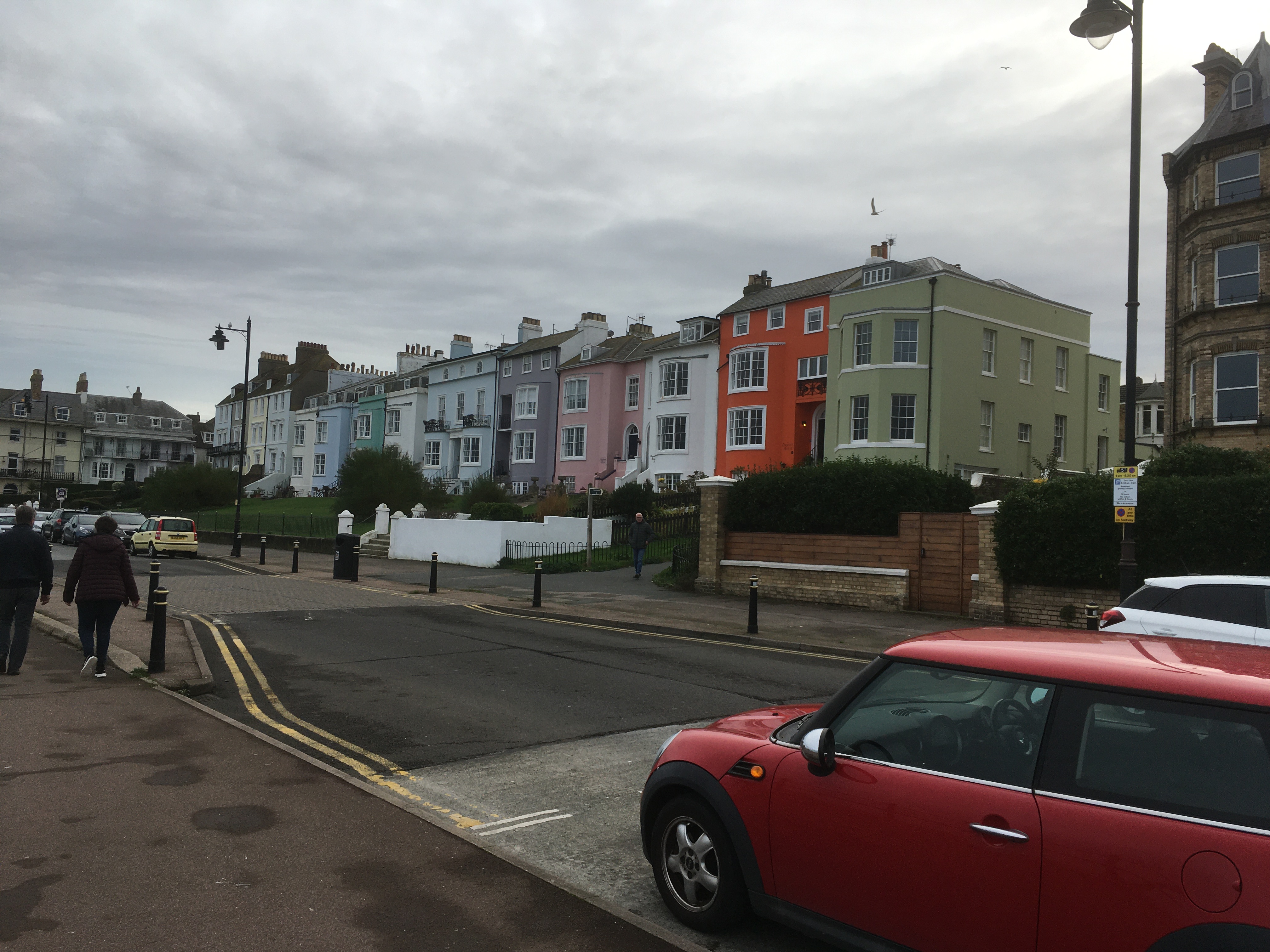
Coming into Margate itself I pass some houses with a real ‘sea view’…


…some funky-looking cafes, one of which is in a double decker bus…


…and a Herne Bay rivalling(?) clock tower…


Just across the road is the iconic Dreamland. Once the home of theme park rides, a ballroom, cinema, and various other attractions, Dreamland has closed and been rescued several times over the last couple of decades and is now a shadow of its former self…


Margate is a bit strange, a mixture of utter dereliction and decay interspersed with new investment. It seems to have ambitions of being the Brighton of Kent, but with a more arty flavour!

Talking of art, as I pass the jetty…


…I come to a significant investment in art…


The Turner Contemporary is free to enter and apparently has quite an impressive collection. I didn’t go in myself, partly because I didn’t really have time, but mostly because I’m an uncultured lout…

Anyway. Moving on. A few minutes later I pass some decay! A large concrete structure covered in graffiti which may have once been a beach-side lido.


From here I continue along the sea wall through Walpole Bay…


About fifteen minutes brings me to Palm Bay. Here I run out of wall and have to continue along the sand, which is nice and all but does require more effort!


At the far end of Palm Bay lies Foreness Point. The shoreline here is blocked by some sort of water company installation so I head up the path to the cliff top.


Up on top, I walk along the low cliff to Botany Bay (no, not that one…) where there is a cool chalk stack!


Continuing along the cliff top to the headland between Botany Bay and Kingsgate Bay I find an 18th Century folly built in the style of a Henry VIII fort…


Heading into Kingsgate Bay there is a great view of Kingsgate Castle on the far side of the bay. Another 18th Century building, this is now divided into, presumably expensive, flats.


Through Kingsgate the path follows a short detour away from the coastline, and follows the road down into Joss Bay where it heads back onto the cliffs along the side of a cabbage field. This is the most easterly point in Kent and is marked by a lighthouse up the hill…


The path continues in front of some pricey-looking houses…


…before being blocked by private land again. I take another, slightly longer, diversion inland along the road towards Broadstairs. On the outskirts of the town the coast path dives down an alley and emerges onto the beach at Stone Bay.


I’m now just a short walk from Broadstairs pier/jetty where I’m finishing today’s walk. I pass Bleak House where Charles Dickens came to write in the 1840s and 1850s, and is today a Dickens museum I believe. Its hard to tell from down below but I think it is this building…


So here I am at the end of today’s bay-tastic walk. I’ll leave you with a couple of photos of the pier area…


Tuesday, November 28, 2023

Walk 22. Herne Bay to Birchington

 The start of today’s walk is Herne Bay pier and the view ahead is of a sand and shingle beach backed by the prom. I love having a prom to walk down!


The town is obviously very proud of its connection with the pioneering pilot Amy Johnson, judging by all the stuff. They have an information board…


…and a bench in the shape of a biplane…


…and another information board about the bench…!


Of course, there is also a statue…


I must admit that, other than the record-breaking flight to Australia, I don’t know a lot about her. I certainly didn’t know that she crashed somewhere off Herne Bay. She seems to have lived such an amazing life you would think someone would have made a big feature film about her!

Just a couple of minutes further on from the statue is the other thing that Herne Bay is proud of - the iconic Clock Tower…


The seafront is a very pleasant walk. There are well-kept ornamental gardens and plenty of cafes and pubs, so I would recommend a visit!

Balamory has a lot to answer for…


But weirdly, someone didn’t get the memo about brightly-painted beach huts…


The wide concrete prom continues out of Herne Bay until I reach Bishopstone Cliffs. From here you can either walk on the beach or along the cliff top. If you take the beach option you need to be aware of the tide as this is another section where the sea can reach the cliff face and cut you off! 

I take the cliff top option and climb the steps. Fortunately the cliffs are not high!


From the top are some nice views back to Herne Bay with the Isle of Sheppey visible in the distance…


Ahead is Reculver Country Park which slopes down to Reculver and it’s famous towers…


Reculver is a tiny place with a pub, a cafe, a car park, and some mobile homes. It’s best known for the Reculver Towers which are the ruined remains of a medieval church and can be seen for miles! The church itself was built in the middle of an earlier Roman fort that was one of the so-called Saxon Shore forts.

The Saxon Shore was a defensive network of forts along the coast of south-east Britain which were designed to protect the province against raiders from across the North Sea. A similar problem was to occur several centuries later, of course, but this time the attackers were called Vikings! 

Due to coastal erosion only the remains of the southern half of the fort still exist - the other half has been eaten by the sea!

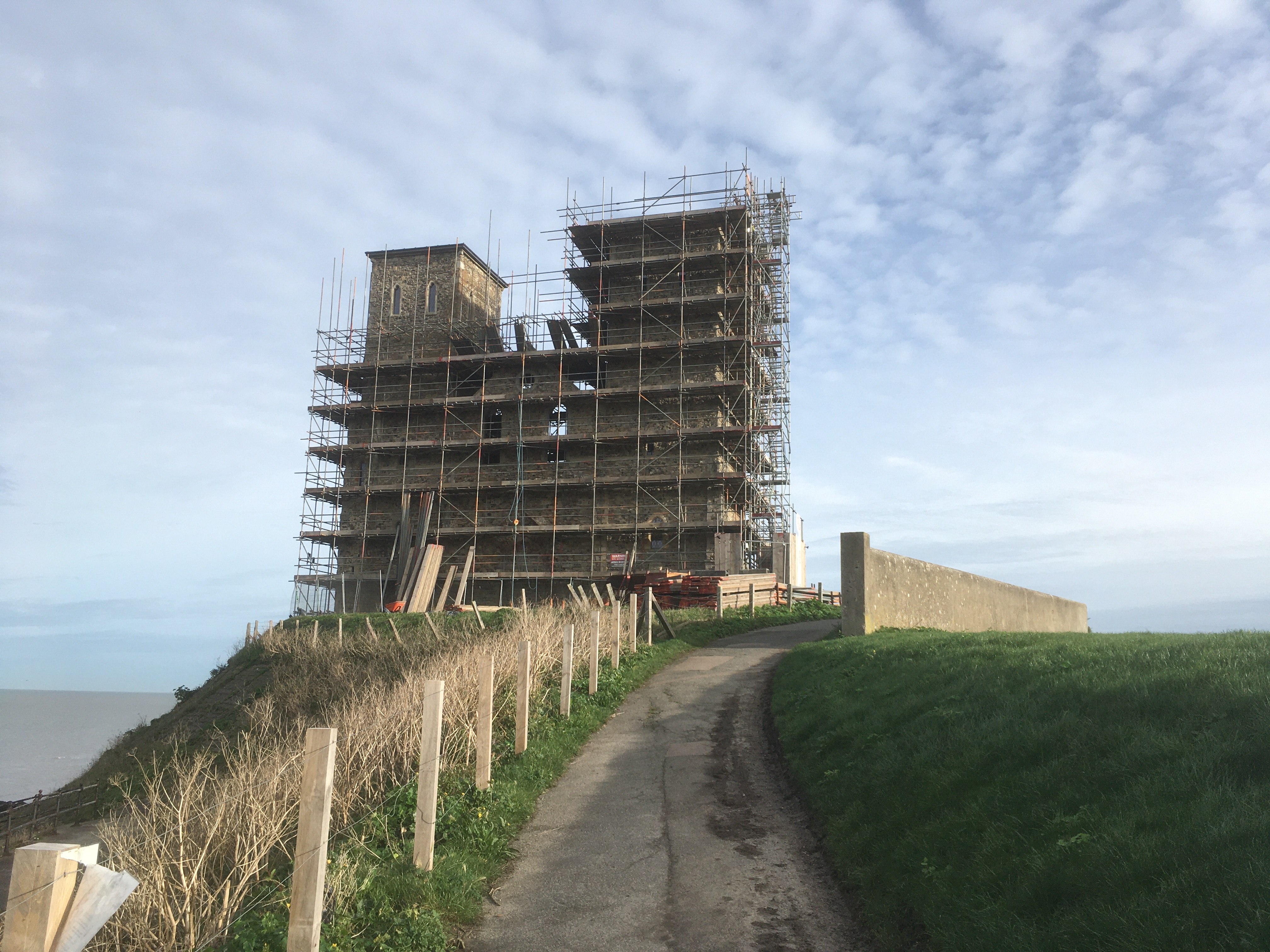
When I arrive I find the church ruins are fenced off and covered in scaffolding as some preservation work is under way.


There is not a lot left to see of the Roman walls…


The next section is a three mile walk along the sea wall to Minnis Bay. Back in Roman times the Isle of Thanet was an actual island separated from the mainland by the Wantsum Channel. As the information board shows, it was quite big…


This is the view ahead, with a shellfish farm just in front and Minnis Bay in the distance…


This is a great walk along the wide sea wall. Along the way I’m passed by several cyclists so it’s clearly a favourite local bike path. There are also two saline lagoons that are home to rare wildlife, although all I see are a couple of swans. Which are not rare…


Eventually I reach Minnis Bay at a place splendidly called Plumpudding Island! 


The eastern half of the bay has all the usual beach amenities - sand, beach huts, cafes, loos etc, and, tucked away in a corner, this interesting tidal pool…


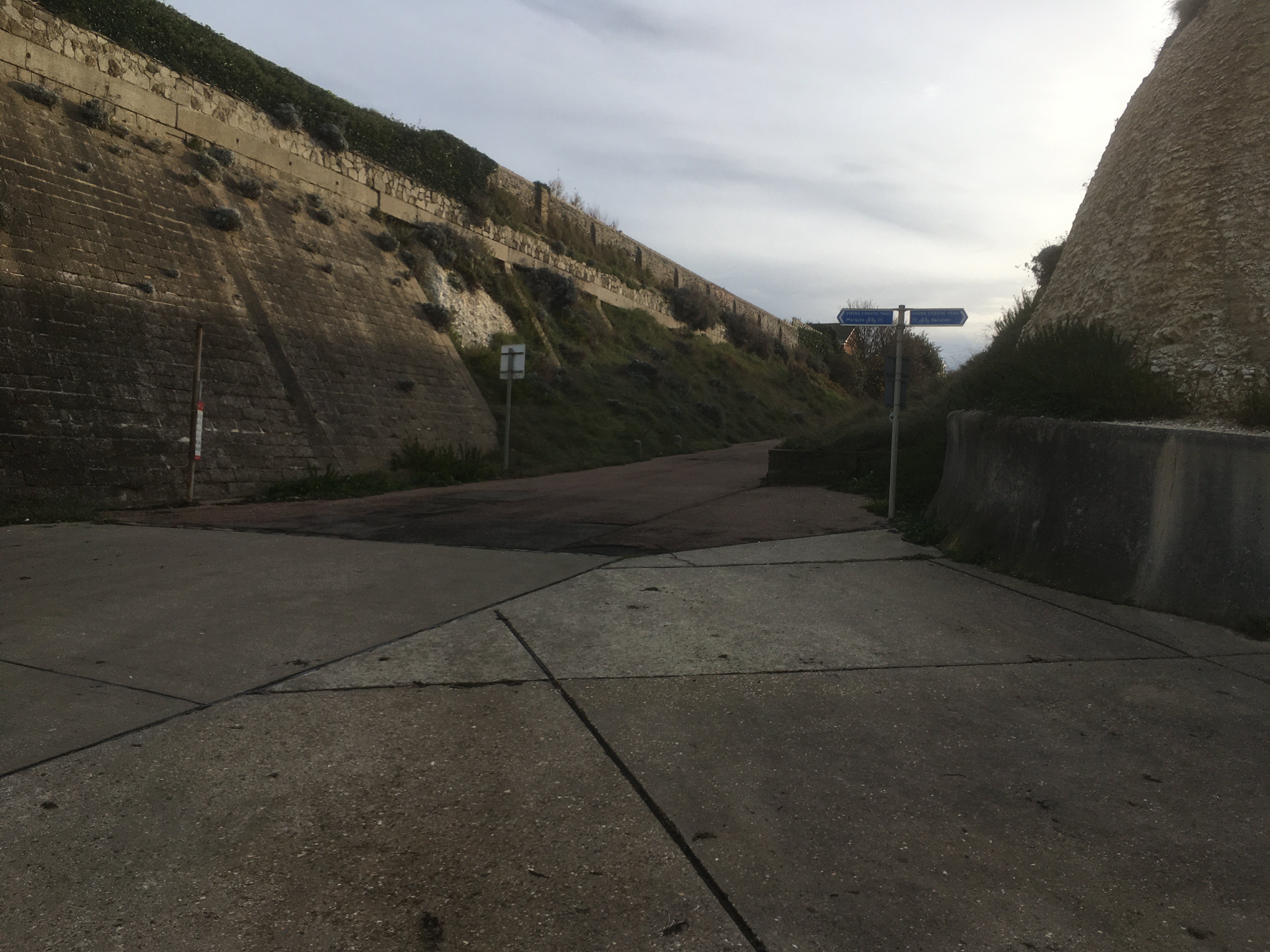
From here I round the small headland into Grenham Bay. The bay is very small but has this unusual arrangement of sea wall that is sort of ‘built-in’ to the low chalk cliffs!


This brings me to the finish point for today, at this slightly anonymous path…


Why? ‘Cos it leads to the station…


Thursday, November 9, 2023

Walk 21. Whitstable to Herne Bay

Today’s walk is quite a short one, mainly because of railway stations. 

After Herne Bay the next station is at Birchington which is quite a distance from Whitstable, and I don’t really have time to get there today. So, I’m going to break it down into smaller stages!

I’m back at Whitstable harbour which is both a working harbour and a touristy place. There are a lot of ‘artisan’ type businesses around the harbour catering for visitors, and an industrial plant on the north-east side.


The road through the industrial area is very short and brings me out here…


The walk ahead looks like this…


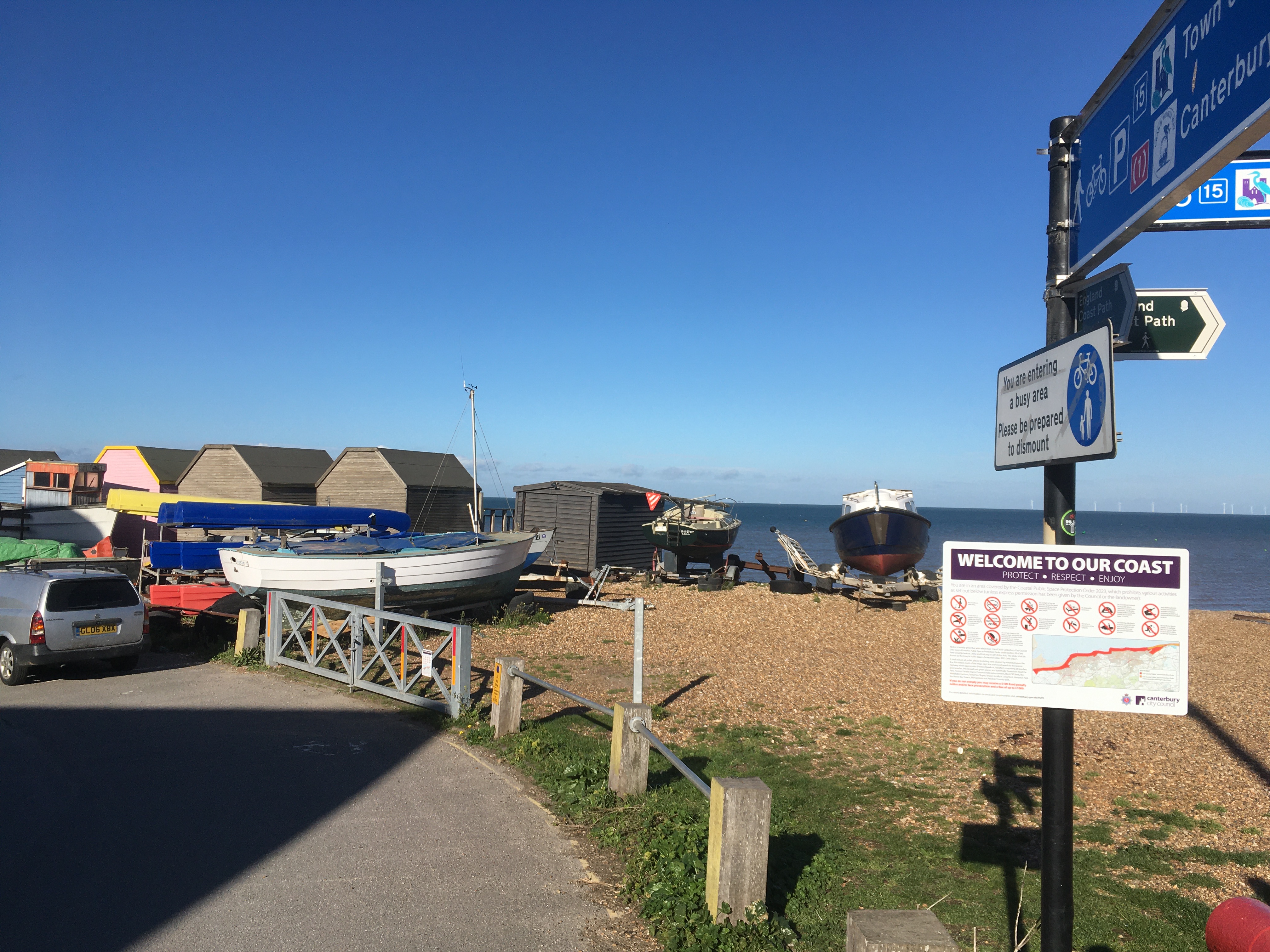
I pass a shed-load of beach huts as I head into Tankerton Bay…


Tankerton is a suburb of Whitstable and is known for its beach huts and its slopes. The slopes run down from the road to the beach and are designated a site of Special Scientific Interest, or SSI, being home to rare plants and moths. With my usual keen naturalist’s instinct I spot…well, just a bunch of bushes really…


At the far end of the bay is a very small headland called Long Rock, although it seems to be more shingle bank than rock! It is clearly popular with bird-watchers as there are a bunch of people with huge cameras mounted on tripods!


Past Long Rock is the section between Whitstable and Herne Bay. It’s another small bay, and a nice easy walk as the concrete esplanade continues all the way between the two towns. In the distance can be seen the suburb of Hampton on the outskirts of Herne Bay…


After only twenty minutes I reach Hampton where I pass a small jetty called, a bit grandly I thought, Hampton Pier…


The path passes behind some beach huts (these things are bloody popular round here!) …


…before coming out onto the main seafront of Herne Bay…


Out to sea can be seen the original end of Herne Bay pier…


According to the handy information board the pier seems to have had a bit of a chequered history…


Today the pier is a bit short but seems to be well kept and vibrant with lots of little shops and cafes…


So this is the end of today’s walk. It’s been probably the easiest so far - no puzzling over the correct route, no difficult terrain, no killer livestock(!), just concrete sea wall/esplanade the whole way! And the sun was shining!