Today I’m back on the cliff top at Peacehaven where there is a great view of a calm and bright sea!

First, I go down these steps…

The view from the bottom - I’m glad I’m not going up…!

Down here is a nice wide concrete prom that carries on for quite a way.

After about twenty minutes I head back up to the top of the cliff via this path…

At the top is the Greenwich Meridian monument. This sits on the Greenwich Meridian, the Zero line of longitude. All my walks so far, from way back at Dartford to here, have been in the Eastern Hemisphere. I have now officially crossed into the Western Hemisphere. I know…big moment, right?!

Peacehaven is a bit odd. It sits on top of the cliff and residential roads end very close to the edge. These houses have amazing views but you do have to wonder if they are able to get buildings insurance!
I continue out of Peacehaven…

…and on into Saltdean.

In Saltdean I drop down to sea level again as there is an uninterrupted concrete prom all the way to Brighton.

A few miles offshore I can see the Rampion Windfarm. You can just see the turbines in this dodgy photo…

A few minutes later I’m passing through Rottingdean.

The Brighton i360 can be seen sticking up in the distance, over four miles away.

Half an hour later I reach Brighton Marina which sits at the eastern end of the city. It’s not just for boats - there are shops and bars and pricey-looking housing as well!

Brighton is a surprisingly big place. The pier is a mile and a half away from the marina, for example! The sea front is wide and full of attractions. From the Victorian miniature railway to the modern zip wire, there is cool stuff everywhere including more beach bars and cafes than you can shake a stick at!


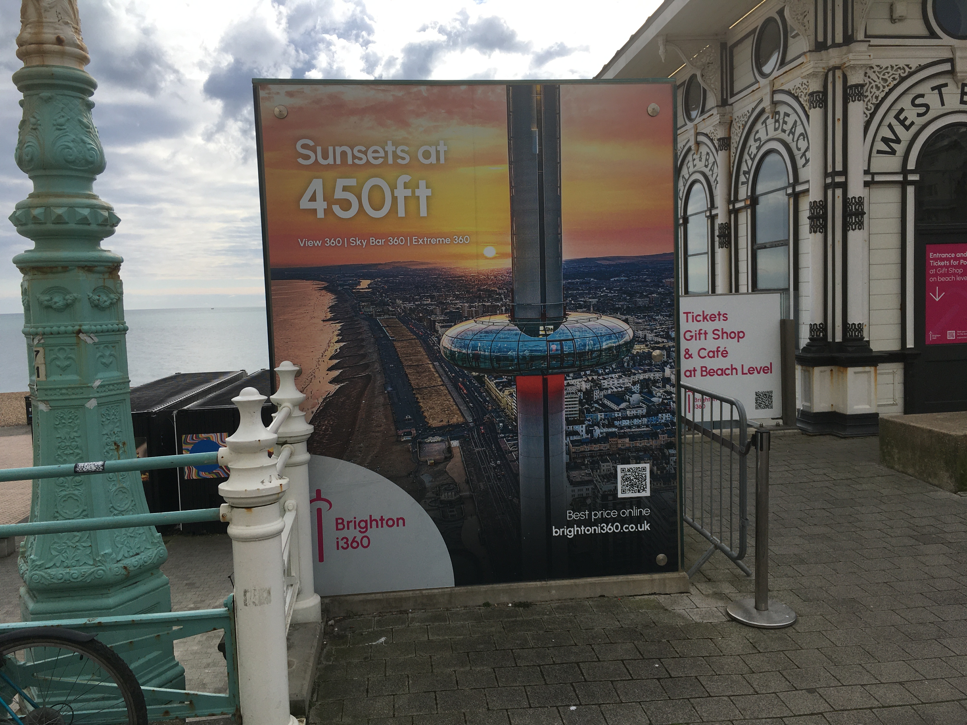
Past the pier I continue along to the i360, built a few years ago on the site of the old West Pier. This Victorian-era pier closed in 1975 and has since gradually fallen apart, helped by winter storms and occasional fires!
The i360 is a big glass observation ‘doughnut’ that you can take a ride on to the top of the tower. Seems to be closed today, though.

There are yet more cafes and bars and stuff here…

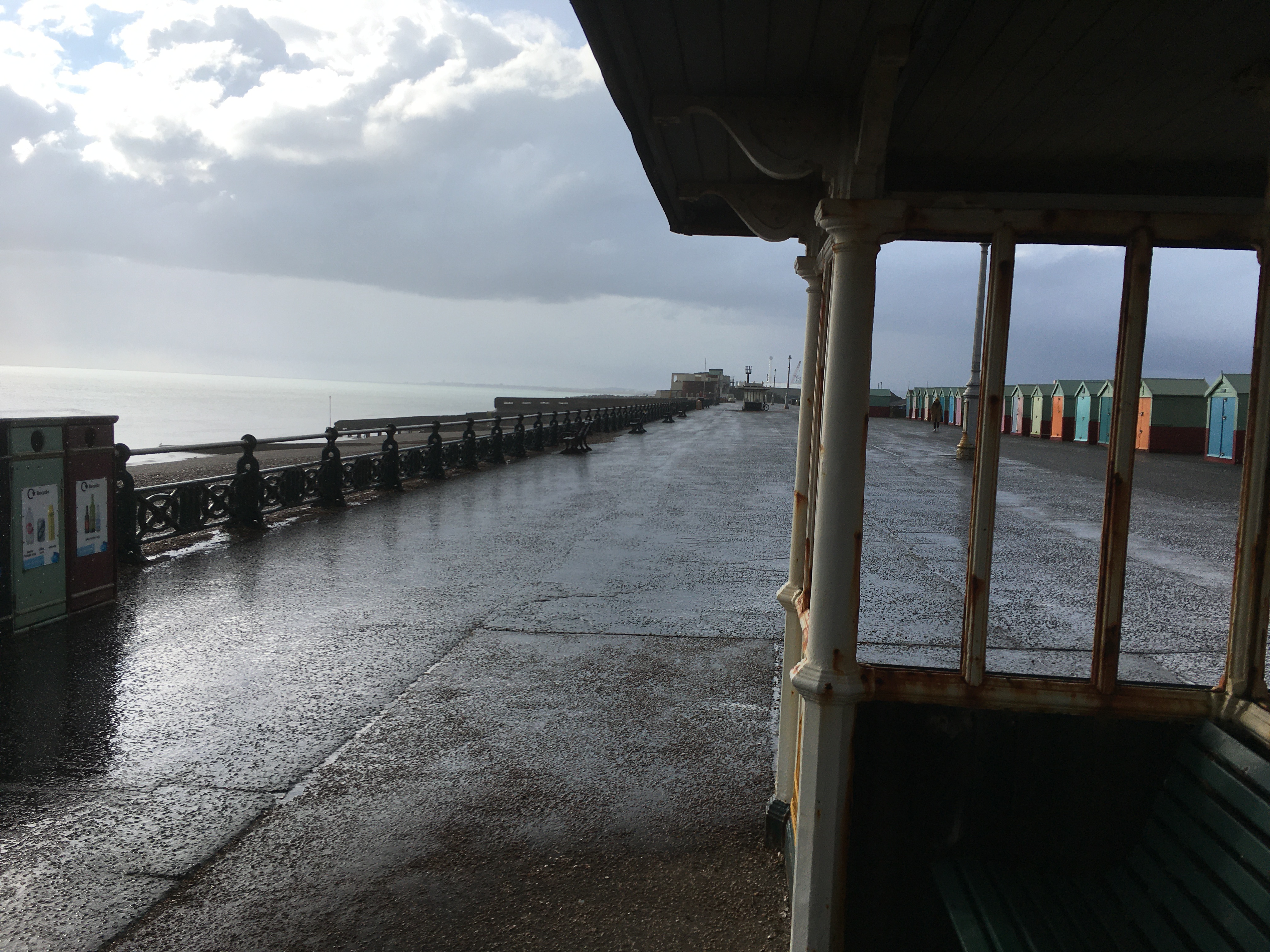
Shortly after this I pass into Hove. I’m not sure where Brighton ends and Hove begins as there are no signs, they just sort of flow into each other. It’s been getting increasingly cloudy after this morning’s sunshine, and now the clouds are getting darker and threatening rain.

When the rain arrives it brings some hail along with it. I didn’t expect that! (Older readers can insert their own Spanish Inquisition jokes here!)
Fortunately the rain doesn’t last long, just enough to get you wet! The sun comes out as I reach Hove Lagoon at the western end of the town.

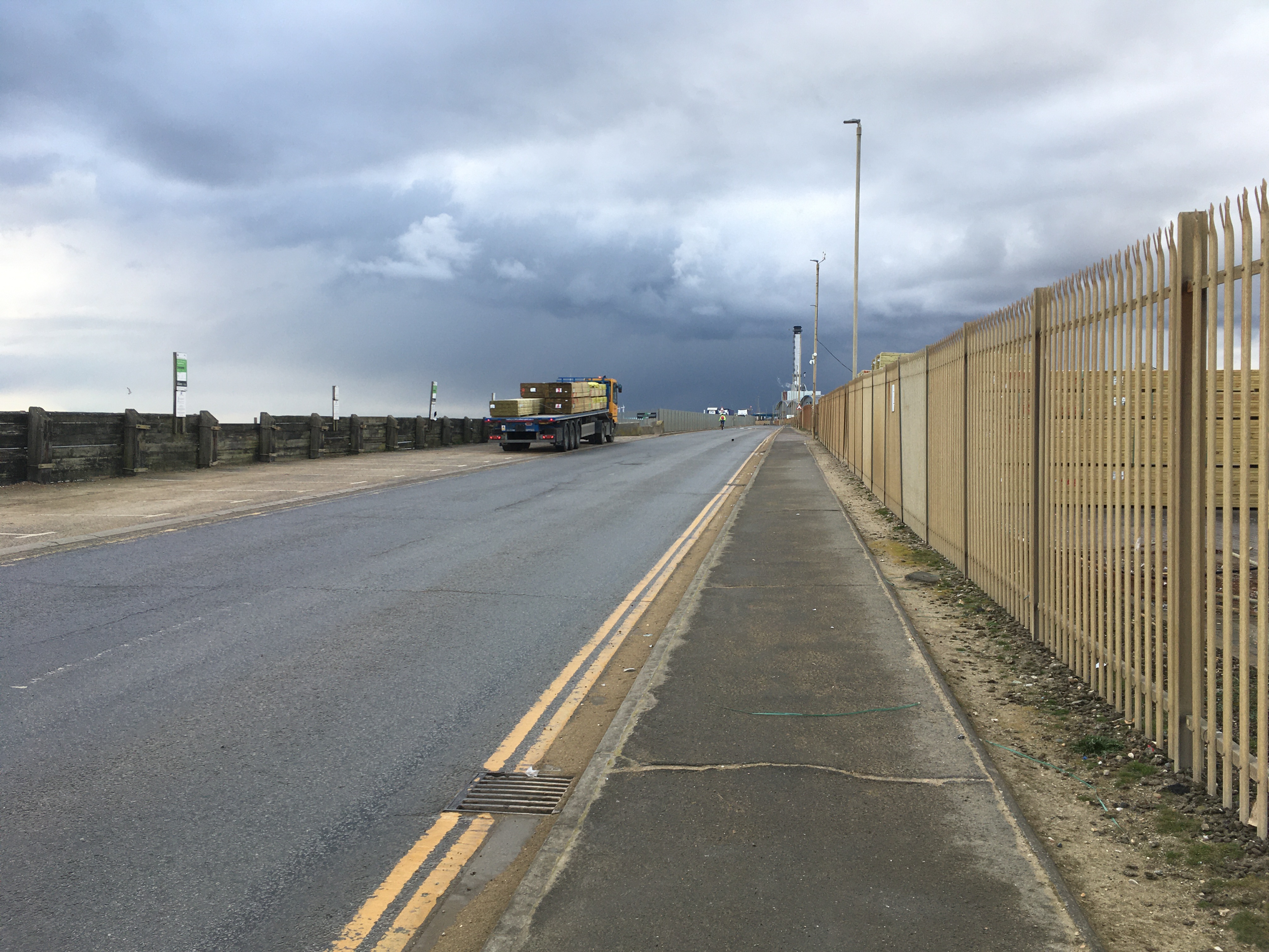
From here the path passes through Portslade to Southwick along a spit of land that seems to be entirely industrial. To the landward side is a body of water that houses Shoreham Harbour.

Half an hour or so later I arrive at the end of the spit of land where there is a breakwater and a couple of wind turbines.

So where do you go from here, do I hear you ask? How do I get across the harbour without retracing my steps? All will be revealed next time! (Ending with a cliffhanger, just like Eastenders innit…)


No comments:
Post a Comment